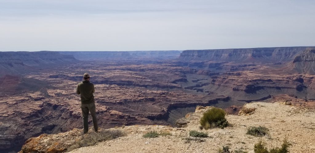
Wilderness areas are required, among other things, to provide “outstanding opportunities for solitude”, as specified in the Wilderness Act of 1964. In order to ensure that character of Wilderness is still being properly managed for, the U.S. Forest Service is required to perform Solitude Monitoring in its Wilderness areas as part of its ongoing Wilderness Stewardship Performance process.
Wild Arizona has partnered with the Forest Service to perform Solitude Monitoring in a number of different Wilderness areas around the state, and we have opportunities for volunteers to help with this process. If you are going to find yourself in any of these areas in the near future, or if you’re looking for a great new place to go visit while helping collect data to ensure that everyone has the opportunity for solitude into the future, please contact us and let us know!


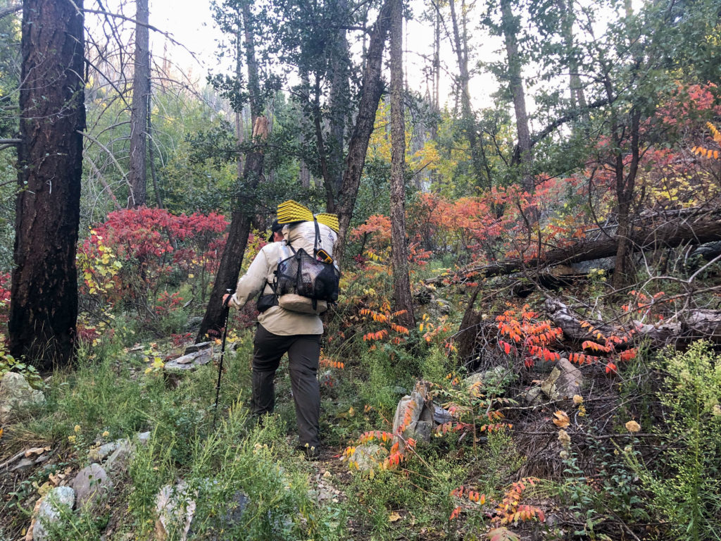
What does Solitude Monitoring involve? It’s simple! You spend at least 4 hours recreating by your preferred method—hiking, backpacking, horse riding, etc.—in one of the monitoring areas listed below and count how many encounters you have with other humans while you’re out recreating. You log your encounters on a provided data collection form, and submit it to us. Data is collected separately for both weekdays and weekends/holidays, so please let us know what days you would be available for when reaching out.
Click the monitoring area links below to see details, driving directions, and maps for each area. Download and print a data collection form below. Please contact us before going out and collecting data for the first time!
Tonto National Forest (Central Arizona)
Salome Wilderness
If you hike rough and lonesome Salome Canyon, the major canyon that runs almost the entire length of this Wilderness, you probably won’t encounter another human being. However, you may see remnants of the Salado Indians, who lived here until vanishing about 700 years ago. As you work your way north, the land becomes increasingly rugged with many bedrock outcroppings. It culminates in Hell’s Hole, a region of precipitous bluffs. Water is sometimes available from several small springs. Elevations range from 2,600 feet at lower Salome Creek to 6,500 feet on Hopkins Mountain. Semidesert grasslands and chaparral dominate the vegetation. Winters usually freeze, and summer temperatures often exceed 100 degrees Fahrenheit. Several trails provide access to the area. From the Reynolds Trailhead, hikers can follow the Hell’s Hole Trail, which descends steeply for 5.3 miles and dead-ends in Hell’s Hole. (from Wilderness.net)
Monitoring Areas
- The Jug
- Hell’s Hole Trail #284
- Boyer Trail #148
